Live
Draw your farm the way you manage it.
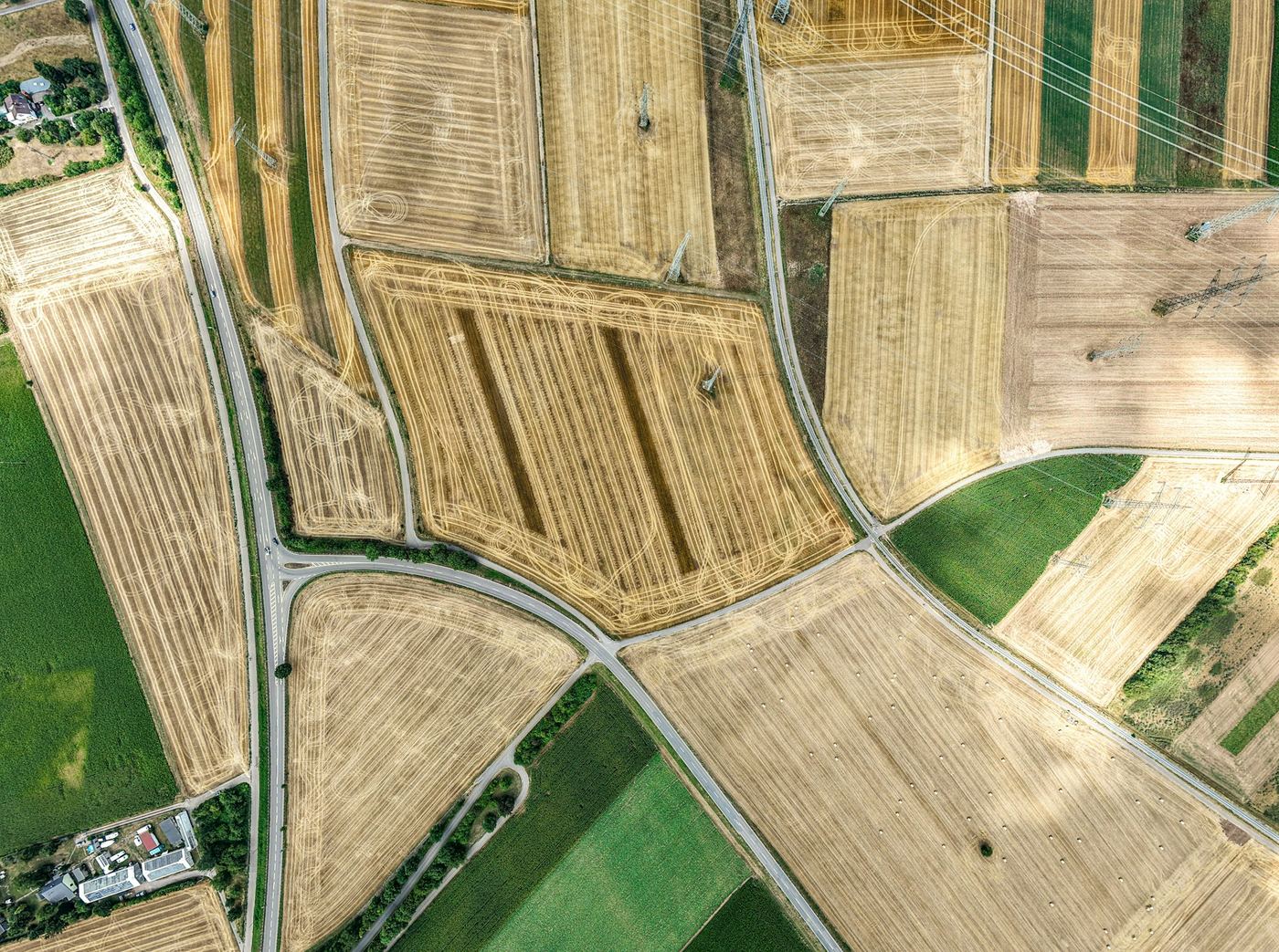
Outline your farm on satellite imagery, then split it into zones by soil, crop or however you already work the land. From then on, every zone is tracked on its own.
- Farm boundaries and zones drawn as polygons, rectangles or circles
- Probes placed on the map and assigned to their zone
- Each zone keeps its own readings, weather and records